English

0 item(s)
View cart
You have no items in your shopping cart.
A GPS point that looks correct on a phone can still be several feet away from its true position. For navigation, that margin may be acceptable. For a property corner, utility as-built, drainage grade, or construction stakeout, it can create expensive rework. The best GPS units for surveying are not simply devices with a map screen. They are GNSS receivers built to collect repeatable, defensible positions under real field conditions.
The right unit depends on the accuracy your work requires, how you receive corrections, the terrain around the job, and whether your crew needs a complete field-to-office workflow. A small conservation team documenting trail assets has different needs than a construction crew setting control. Choosing accordingly protects the schedule, the data, and the people responsible for both.
Professional surveying relies on GNSS, a broader term that includes GPS along with Galileo, GLONASS, and BeiDou satellite constellations. A modern multi-constellation receiver can use more available signals, which helps maintain a solution in difficult terrain and around partial sky obstructions.
Accuracy comes from more than the receiver itself. Survey-grade results usually require real-time correction data from an RTK base station, a local radio, or a cellular correction network. With RTK corrections and a clear view of the sky, many field receivers can achieve centimeter-level horizontal and vertical positions. Without corrections, even a capable handheld typically delivers only sub-meter to several-meter accuracy depending on conditions.
That distinction should drive the purchase. If the work will be used for boundary determination, engineering design, staking, legal records, or precise as-builts, use a survey-grade GNSS receiver and follow the procedures required by the licensed surveyor or project authority. A handheld GPS is useful for reconnaissance and asset location, but it is not a replacement for licensed land surveying services.
The Trimble R12i is built for demanding survey workflows where crews need high accuracy, dependable tracking, and strong performance near trees, buildings, and other sources of multipath. Its IMU-based tilt compensation lets an operator measure points without holding the pole perfectly level, which can speed up collection along walls, fences, slopes, and congested sites.
This is a premium option, and the price reflects that. It makes the most sense for professional land surveyors, civil contractors, and organizations that bill for accurate field data or need close compatibility with established Trimble field software. For occasional asset mapping, it is more receiver than most teams need.
The Emlid Reach RS3 is a practical choice for crews that need centimeter-level RTK capability without moving into the highest-priced professional ecosystem. It supports multi-band GNSS, can operate as a rover or base, and includes tilt compensation for faster point collection. It is commonly considered by utility contractors, environmental teams, agricultural users, and smaller survey operations that want a flexible receiver for repeated work.
Its trade-off is workflow preference. Teams already standardized on a major survey software suite may find a premium receiver easier to integrate. But for a crew willing to configure its own correction source and field software, the RS3 can provide a strong balance of capability and cost.
The Leica GS18 I is designed for crews working where direct access to every point is difficult. Its visual positioning workflow can help capture points from imagery rather than requiring the pole to physically occupy each location. That has real value around busy roads, hazardous slopes, stockpiles, water edges, and inaccessible features.
This capability is specialized and comes at a professional price point. It is best suited to survey and engineering teams that can gain measurable time or safety benefits from visual data capture. For open-field boundary work, a conventional RTK rover may be the more economical choice.
The Garmin GPSMAP 67i is not a replacement for an RTK receiver, but it is a capable field companion for navigation, preliminary site walks, route documentation, and lower-accuracy asset inventories. Its strong battery life, physical controls, and satellite messaging capability are valuable when crews work outside dependable cellular coverage.
For forestry, conservation, remote inspections, and project scouting, a handheld can help teams stay oriented and maintain a location record before a survey crew returns with precision equipment. The limitation is accuracy. Do not use it where centimeter-level results or formal survey documentation are required.
A clear accuracy requirement prevents both overspending and under-equipping. If a team needs to locate remote gates, trail markers, monitoring stations, or broad site features, a handheld GNSS unit may be sufficient. For GIS collection where positions need to be consistently within a foot or less, consider a mapping-grade receiver with satellite-based augmentation or correction service.
For construction layout, utility mapping, control points, detailed as-builts, and survey deliverables, select an RTK-capable rover. The equipment should support the correction method available on the site, whether that is a state or commercial network correction service, a radio-connected local base, or a paired base-and-rover setup.
Do not evaluate horizontal accuracy alone. Vertical data is often where costly errors appear. Confirm how elevations will be referenced, whether the project requires an approved geoid model, and how the crew will validate control before beginning production work.
An RTK receiver is only as useful as its correction path. Cellular network corrections are convenient and efficient where coverage is reliable. A local base station and radio can be a better fit on remote sites, large properties, or projects where the crew cannot depend on a cellular signal.
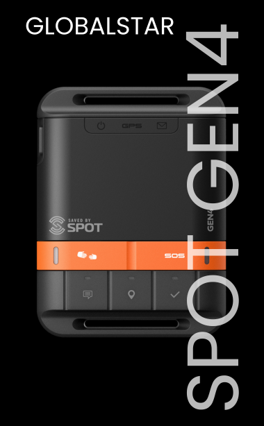
Remote deployment also requires a communication plan separate from the GNSS plan. Satellite messengers, satellite phones, and personal locator beacons provide check-in, SOS, and location-sharing capabilities when the job extends beyond cellular coverage. They do not replace RTK corrections, but they can help protect lone workers and keep supervisors informed when a crew is operating far from the office.
For longer assignments, verify battery runtime for the receiver, controller, radio, and any external modem. Carry vehicle charging options and spare power for full-day collection. A receiver that performs well on paper is not deployment-ready if the crew cannot keep it charged, corrected, and protected from rain, dust, and transport damage.
The best receiver can still produce poor results if the workflow is inconsistent. Before mobilizing, establish the coordinate system, datum, geoid, correction credentials, project tolerances, file naming convention, and required export format. Confirm that the controller software can exchange data with the office platform without manual re-entry.
In the field, crews should verify control points at the beginning and end of the day, monitor solution status, and document any conditions that may affect accuracy. Dense canopy, reflective metal surfaces, vehicles, power lines, urban canyons, and poor satellite geometry can all degrade a GNSS solution. Tilt compensation improves efficiency, but it does not eliminate the need for sound observation practices.
Training matters as well. A unit with advanced settings should not be handed to a new operator without a configured workflow and a short field procedure. Outfitter Satellite can help remote teams think through connectivity and safety equipment around their broader field deployment, especially when cellular service cannot be assumed.
Buying is usually the right move when a team collects accurate positions regularly and needs to standardize its equipment, accessories, and procedures. Rental can be the smarter choice for a short construction phase, a one-time inventory project, emergency response, or a temporary expansion of field capacity.
Before committing, consider the complete operating package: receiver, pole, bipod, controller, field software, correction subscription, spare batteries, protective case, and technical support. A lower receiver price can become less attractive if required accessories, software, or correction access are not included in the plan.
Before the next field mobilization, define the accuracy your deliverable truly needs, confirm your correction path at the worksite, and test the complete kit under the same conditions your crew will face. That preparation turns a GPS purchase into a dependable surveying system.